top of page
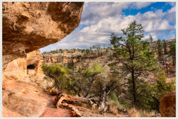
The Gila Cliff Dwellings National Monument is an adventure in the drive to the location traveling through the ghost town of Pinos Altos NM and the hike to the caves themselves. The landscape in the monument ranges in elevation from around 5,700 to 7,300 feet above sea level and follows the West Fork and the Middle Fork of the Gila River. The terrain around the ruins is rugged, arid, containing steep-sided canyons and bluffs forested with Ponderosa pine, Gambel's oak, Douglas fir, New Mexico juniper, pinon pine, and alligator juniper (among others). Enjoy the walk in these images.
Any image here can be purchased, contact me.
Double Click Image For Full Screen View And Description - Enjoy
 |  |  |
|---|---|---|
 |  |  |
 |  |  |
 |  |  |
 |  |  |
To stop the music click the button
bottom of page